")


Hikking to Middagstinden
 Medium
 Vestvågøya
 3 to 4 hrs
 8.88 km
 785 m
785 m 694 m
694 m Vestvågøy
 until May at the top
- Type of hike : Go back
- Visibility of the route : avreage to poor
- Start/Finish : Coming from Leknes on E10, take the secondary road, Route 996, that starts to your left in a hairpin turn, toward Kvalnes (Vestersand/Bø). Roughly 500 m (550 ft) before arriving at the hamlet of Kvalnes, on the level of the cape of Digerneset, on your right you’ll see a big antenna at the top of a bank. A dirt road, closed by a sheep fence, leads to the antenna. You can park at the start of this road without blocking the access. The path described here begins to the left of the road about 100 m after the sheep fence.
- GPS Point : Start/Finish : N68 20.659 E13 56.836
- Note : The path represented by the black dotted lines on the map, which leaves from Kvalnes and goes to Lake Nervatnet, also joins the path described above, but we do not advise following it for several reasons. First of all, it starts in private property right near homes. While the locals now look kindly on the rare hikers who pass by, it would be too bad (but quite understandable) if this changes with an increase in the number of people going through. And then, if you take that path, you’ll have to go through a number of electric fences that keep sheep on the mountain. Finally—and this is not the smallest problem—the first part of that dotted path crosses a very damp boggy area.
Description
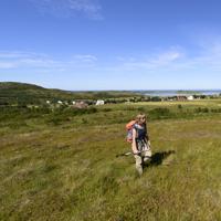
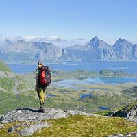
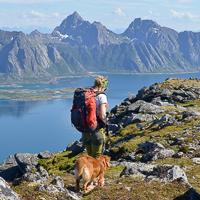
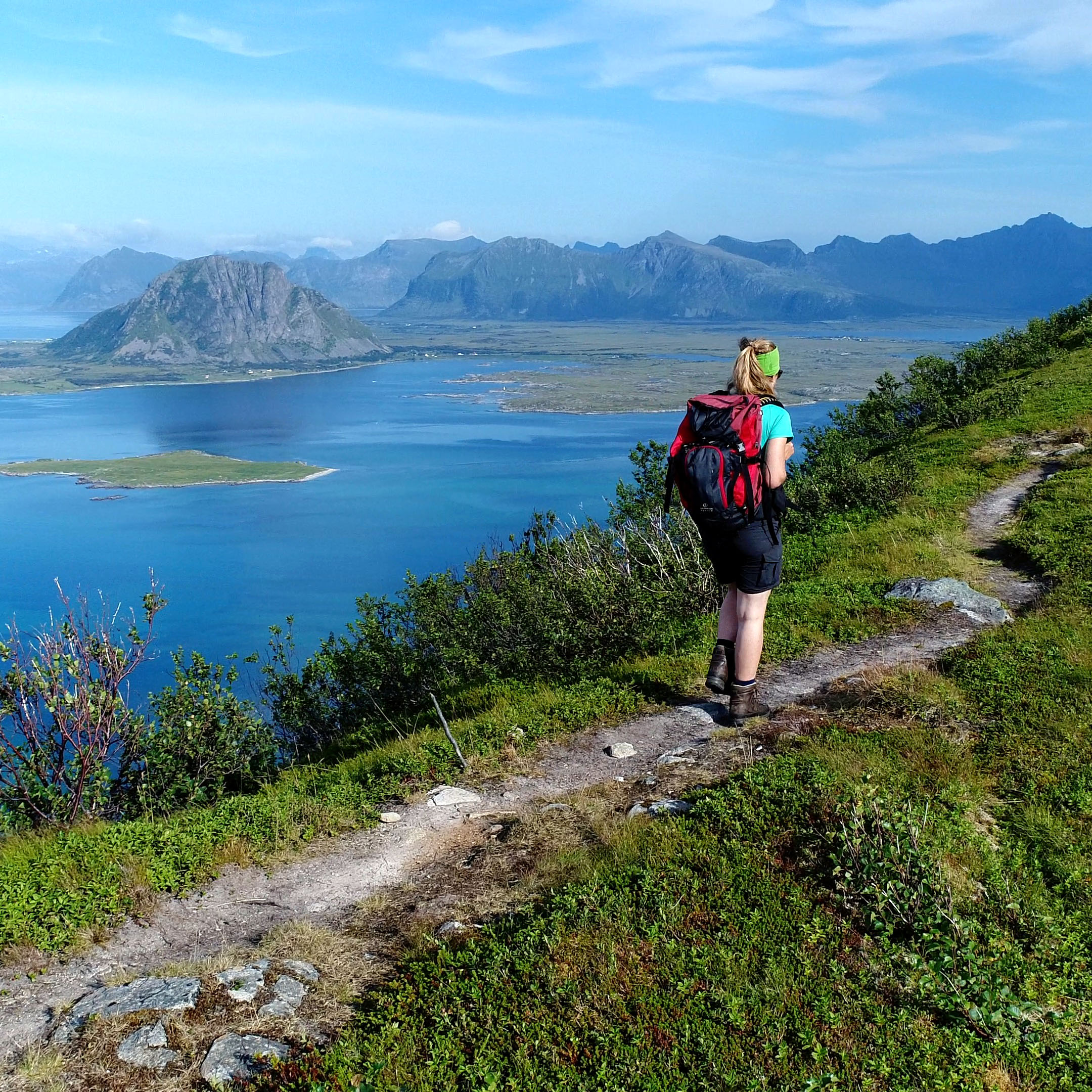
This summit, in the north of Vestvågøya Island, lets you discover a relatively unknown part of the archipelago. Three quarters of the ascent goes up a magnificent ridge line that gives this hike a very aerial look. Finally, the exceptional location of this summit gives it a unique panorama: it’s at the tip of a peninsula, facing the Norwegian Sea and with two big arms of the sea around it.
Accessibility
 No
No No
No No
No
Slideshow

View the embedded image gallery online at:
https://www.rando-lofoten.net/en/hiking-to-middagstinden#sigProIddb2b77223b
https://www.rando-lofoten.net/en/hiking-to-middagstinden#sigProIddb2b77223b


Download the route |
Middagstinden.gpx |
Join the start of the hike with Google Maps
You can use your actual location or enter the name of the place from which you wish to start