")


Hiking to Hoven
 Easy
Easy Gimsøya
 2 to 3 hrs
 3.62 km
 450 m
450 m 376 m
376 m Vestvågøy, Vågan
 Until May on the summit
- Type of hike : Go back
- Visibility of the route : Medium
- Start/Finish : Hov/Hov
- GPS Point : Start/finish: N68° 20.400' E14° 07.478'
Summit: N68° 19.830' E14° 06.337'
Description
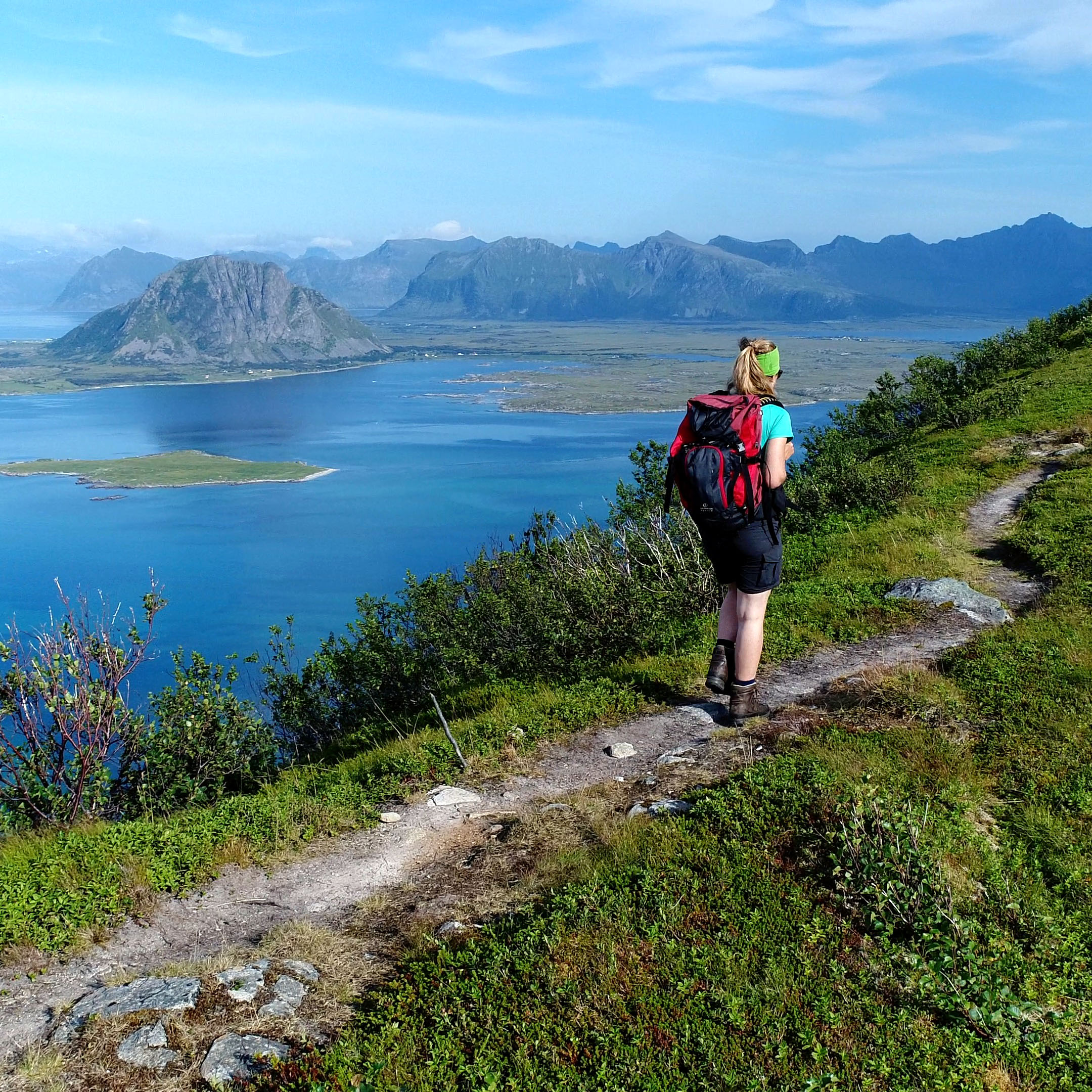
A short hike in a heavenly setting overlooking the sea! There are no special difficulties about this hike which takes you up the majestic solitary peak that overlooks the tiny settlement of Hovsund.
More information about this hike...
|
|

Accessibility
 Yes
Yes Yes
Yes No
No
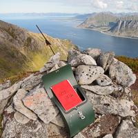
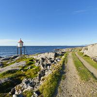
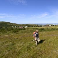
Slideshow

View the embedded image gallery online at:
https://www.rando-lofoten.net/en/hov-en#sigProId817291e50a
https://www.rando-lofoten.net/en/hov-en#sigProId817291e50a


Download the route |
Hov.gpx |
Join the start of the hike with Google Maps
You can use your actual location or enter the name of the place from which you wish to start