")


Hiking to Hustinden
 Medium
 Flakstadøya
 6 hrs
6 hrs 10.93 km
 913 m
913 m 682 m
682 m Vest-Lofoten
 Until May on the summit
- Type of hike : Back and forth or loop (if descent by Kjølen)
- Visibility of the route : Poor to good
- Start/Finish : Leave from the car park at the foot of a tiny ski resort 200m from the E10 road between the village of Napp and the hamlet of Vareid.
- GPS Point : Start/finish: N68 07.824 E13 23.389 (identical if loop)
Summit: : N68 07.872 E13 20.723
Crossing in the village of Vikten for the return (to Gauktinsvatnet): N68 08.514 E13 18.895
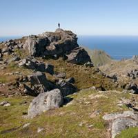
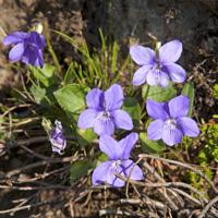
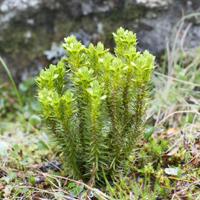
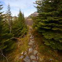
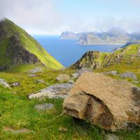
This majestic peak is in the northern part of the island of Flakstadoya from which there is an u uninterrupted view over the Norwegian Sea and the entire island. The hike offers a variety of landscapes including peatland, peaks, craggy mountain tops, and lakes, and crossespasses through the picturesque hamlet of Vikten with its golden -sand beach.
More information about this hike...
|

 No
No Yes
Yes No
No
https://www.rando-lofoten.net/en/hustinden-en#sigProId30e5fd9f6d


Download the route | Hustinden.gpx |
Join the start of the hike with Google Maps
You can use your actual location or enter the name of the place from which you wish to start