Hiking to Breidtinden

Difficulty 3
Vestvågøya
3 to 5 hrs
9.9 km
600 m
449 m
Vestvågøy - 1:50 000
Until May on the summit
Type of hike :
Go back
Trail visibility :
Bonne, Mauvaise
Departure/Arrival :
At the crossroads leading to Reineveien and Ballstadlandet (near the boat shop).
GPS point(s) :
Start/finish: N68 04.489 E13 31.663 Summit: N68 05.436 E13 29.228
Description


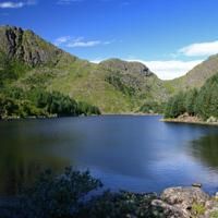
A fine hike through a varied landscape. Leaving Ballstad, the path winds around a number of tiny lakes before taking you towards the valley of Kyllingdalen. You then walk through a pinewood straight out of “Hansel and Gretel”.


More information about this hike...

Cover EN ptYou can read the detailed description of this hike (as well as 59 other hike descriptions), enjoy hundreds of photos, maps and practical information on the paper guidebook Hiking the LOFOTEN ISLANDS.
You'll find the guidebook on logo amazon en, as well as at the following bookstores, for 24,07£ (not including shipping).

Order on Amazon

Accessibility

Accessible to dogs, Family friendly

Slideshow

Breitinden.gpx :

GPX