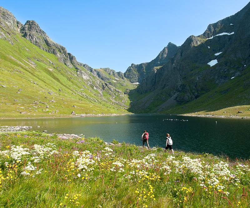
An Athletic Trek in the South of the Lofoten Islands
3 or 4 days – leave : Sørvågen / arrive : Reine
Total distance : 39km, Height difference +/- 3600m, maximum altitude 1029m
Season : July, August and September
This very athletic trek combines the most beautiful summits of Moskenesøya Island into one big hike. It’s intended for people who don’t have the time to take longer treks (like the great hike across the Lofotens), but who like physical exertion in high-mountain landscapes. You should have some mountain experience and a good sense of direction, for aside from the height difference and distances you’ll have to cross, most of the hike will be off-trail, over wild, uneven terrain.
It is preferable to make this trek in 4 days to get the most out of the places you’ll hike through, but if you’re in a hurry, it’s possible to get back to the village of Reine in the afternoon of day 3. To do that, you’ll have to get to Vinstad before the last ferry leaves at 3:25 PM (see schedules here). However, as Bunes Beach is a magnificent spot to bivouac and admire the midnight sun, we think you’d do better to take your time and spend the third night in this beautiful place...
…
NOTE: There are no refueling points beyond Sorvagen, you must start this trek with 3 to 4 days of food (Or a good fishing rod ;-)
Complete trek map (below)
Stage n°1 – From Sørvagen to Krokvatnet Lake
Don’t be fooled by the distance of this leg of the hike: it goes over the summit of Støvla and it’s the hardest part of the itinerary, along with Stage No. 2. Only do it if the snow has totally disappeared from the summit. Some passages of the ascent go along extremely slanted slopes over Fjerddalsvatnet Lake and when there’s snow, the passage can be dangerous—in fact, impossible. The ascent to the summit as well as the way back down to the lake pass through screes and highly uneven terrain where a GPS may be necessary. But what a reward, when you get to the top of Støvla and its 360° panorama over the south of the archipelago!
When you get back down, you’ll find several places to bivouac between Lakes Krokvatnet and Tennesvatnet. The point we suggest here is a little rounded promontory that gives you a lovely view over the fjord of Forsfjorden. From there, you’ll be ready to set out on the ascent of Herrmannsdalstinden the next morning.
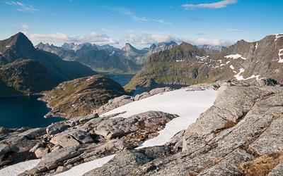
Leave : Sørvågen (N67° 53.474’ E13° 00.608’)
Arrive : hill 440m, between the lake of Krokvatnet and Tennesvatnet (N67°56.013’ E12°58.738’)
Distance : 11km
Time of trip : 6 to 7h
Height difference : +1276m/-789m
Maximum altitude : 824m
Bivouac : possible everywhere
Place to get water : all along the trail
Places to get food : Sørvågen (Joker, Matkroken)
Note : Some passages are dangerous if snowed (you will find snow until july normaly). A gps device is very useful especially in the downhill
Other nearby hikes : Tindstinden, Munkan
Stage n°2 – Hermannsdalstinden Summit (1,029 m / 3,376 ft) and the valley of Hermannsdalsvatnet
This is the longest leg of the trek—and the most extraordinary in terms of the landscapes you will hike through. You’ll first reach the highest summit of Moskenesøya Island (Hermannsdalstinden – 1,029 m / 3,376 ft); then a wild, not very accessible valley that reaches the west coast of the island. Just as for the Støvla summit, it is not advisable to venture onto the summit of Hermannsdalstinden if it is still covered with snow: there’s a risk of avalanches and falling rocks. It is important to manage your effort carefully during this leg of the hike, for once you reach the summit, you still have a long way to go. The climb back down to the fjord of Forsfjorden and the trail along the fjord are both quite challenging and you still have to go through a second pass (500 m / 1,640 ft of height difference) to reach the valley of Hermannsdalen. As you walk along Hermannsdalsvatnet Lake, you’ll reach an area of meadows between the lake and the sea. It’s an ideal place to set up your bivouac, particularly on the butte of Sandhågen to the south. The sea is hard to reach at this spot, but Hermannsdalsvatnet Lake has many places where you can swim or fish.
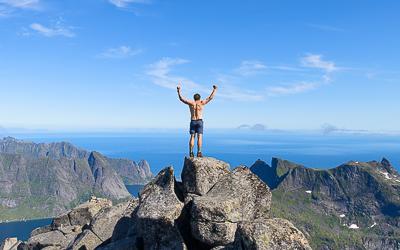
Leave : hill 440m, between the lake of Krokvatnet and Tennesvatnet (N67°56.013’ E12°58.738’)
Arrive : mound of Sandhågen (N67° 57.363’ E12° 54.475’)
Distance : 15,2km
Time of trip : 7 to 8h
Height difference : +1493m/-1918m
Maximum altitude : 1029m
Bivouac : possible everywhere
Place to get water : all along the trail
Places to get food : none
Note : Passages near the void during the ascent of the summit of Hermannsdalstinden. Avoid this climb if the summit is still cover of snow. The trail between Forsfjord and Vindstad is narrow and scabrous in places, especially if you are heavily loaded.
Other nearby hikes : none
Stage n°3 – From Hermannsdalsvatnet to Bunes Beach
This leg of the trek is easier and shorter than the first two. It takes you to the famous beach of Bunes (or Buneset), which faces the Norwegian Sea. First, you must leave the valley by the same trail you took to get there, to the pass that overlooks Vindstad and Forsfjorden. Next, you’ll take a little trail that goes around the summit of Håtinden by the north and goes back down onto the little road that connects Vindstad to the end of the Bunesfjorden fjord. In summer, many people hike from Vindstad to Bunes Beach, for it’s an easy walk. So you probably won't be alone on this part of the hike. Even though it’s relatively crowded, the place is worth discovering and the beach is a very good spot to bivouac. If you don’t want to spend the night on Bunes Beach and you’ve decided to go directly back to Reine on the ferry, keep in mind that the last ferry of the day leaves at 3:25 PM and you’ll need to be there twenty minutes ahead of time if you want to be sure to get on (the number of people the boat can take is limited).
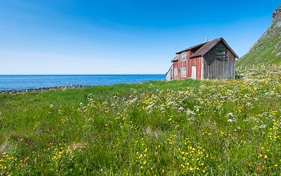 Leave : mound of Sandhågen (N67° 57.363’ E12° 54.475’)
Arrive : Bunes beach (N67° 58.674’ E12° 57.675’)
Distance : 9km
Time of trip : 3 to 4h
Height difference : +658m/-666m
Maximum altitude : 494m
Bivouac : possible everywhere
Place to get water : first part of the trail and in Vindstad
Places to get food : none
Note : none
Other nearby hikes : Brunakseltinden
Stage n°4 (if you’ve opted for 4 days) – Bunes Beach – Reine (Ferry from Vindstad)
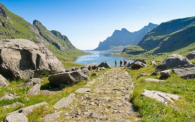
This last stage is extremely short. It takes you to the pier of the ferry at Vindstad, where you can take one of the shuttles that go to the village of Reine on the other side of the fjord (see ferry schedules).
Leave : Bunes beach (N67° 58.674’ E12° 57.675’)
Arrive : Quay of vindstad (N67° 57.477' E13° 00.223')
Distance : 3,2km
Time of trip : 45min
Height difference +/- : 100m
Maximum altitude : 76m
Bivouac : Not possible in the village of Reine
Place to get water : Vindstad or Reine
Places to get food : Reine (Cop Marked or Circle K gaz station)
Note : come at least half an hour in advance at the ferry departure quay in the full saeson
Other nearby hikes : Reinebringen, Veinestinden


