")


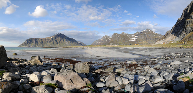
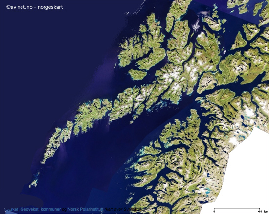 What makes the Lofoten Islands unique is the combination of landscapes and terrains that are not usually found together. Over 80% of the archipelago consists of a mountain range with its jagged peaks.
The remainder is made up of small plateau areas in the centre and to the north and a narrow coastal strip where most of the population lives. In a single day you can begin hiking on a wide golden-sand beach looking out to the Norwegian Sea then cross mountain pastures inhabited by a few half-wild sheep before finally arriving at steep peaks still partially covered with snow even though it’s mid-August!
This permanent contrast never fails to surprise hikers and leaves no room for monotony. It is often said that the Lofoten Islands are like the Alps with their feet in the sea.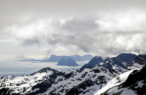 The Lofoten Islands, like the rest of Norway, are made up of terrain that is extremely wild and untamed. But this is also what makes them so attractive. But hiking in such terrain is not without its difficulties! In the north of Norway there are few hikers and therefore few paths which is why most hikes are “off track” on rough scree. The thick covering of vegetation conceals the unevenness of the land. Here more than anywhere you should not judge the difficulty of hikes in terms of steep slopes or distance, but in terms of the nature of the terrain which is comparable to high mountain areas.
To ensure that your trip remains pleasant for you and anybody travelling with you, you must not only be in good physical condition but also have experience hiking in mountains over rough terrain. You will be the first to benefit once there.
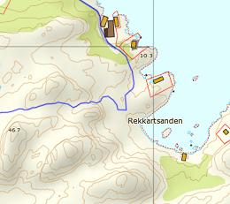
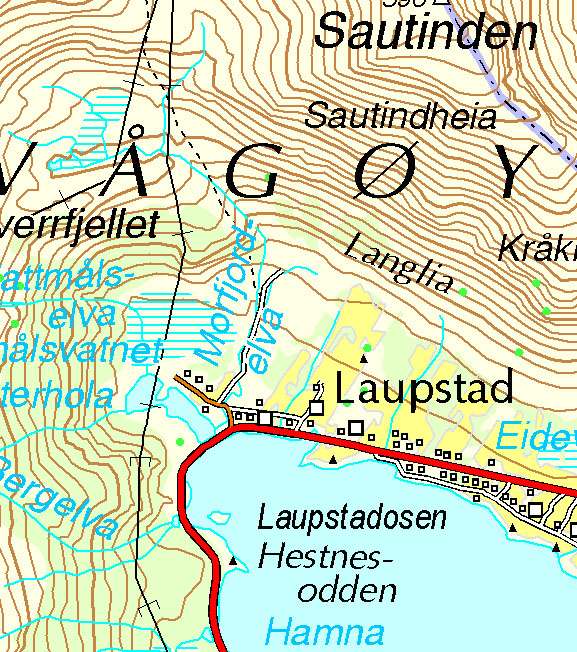
If you decide not to use a guide you must also have good orienteering skills. The lack of waymarkers, and more often than not actual paths, together with the limited hiking maps (see Bibliography) usually mean you have to plan your own way through the heaths and mountains. Nor should you rely on the help of any hikers you may meet to show you the way because even though Norwegians may be friendly, helpful people, as soon as you stray from the few tourist spots on the islands you will probably not meet another living soul.
 In addition to a map, a handheld GPS or compass may prove useful, particularly in foggy conditions .
As well as the difficult terrain the climate can sometimes be harsh and changeable. It is not unusual for the temperature to drop from 15° to 5° in August and, combined with the rain and wind, making progress can be difficult.