To this question I would simply answer, “Because you find everything hikers dream of concentrated in a limited area!”
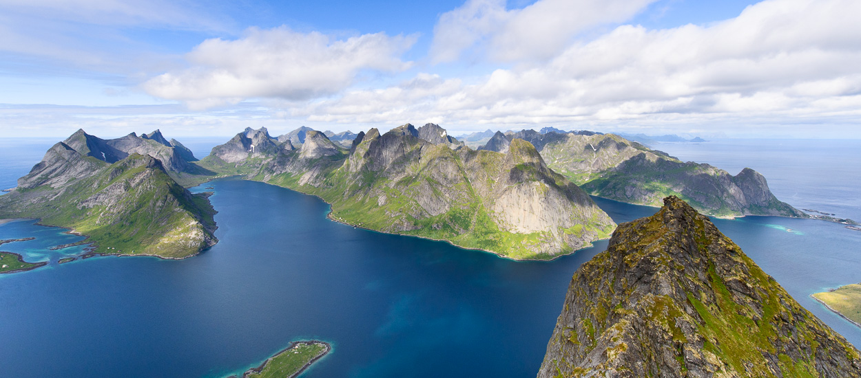
It is often said that the Lofoten Islands are a miniature Norway, which is true because all the landscapes you find in mainland Norway are within easy reach.
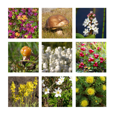
Outstanding landscapes and light. Here you will find immense white-sand beaches, small ports with brightly coloured houses nestling deep in tiny fjords, narrow valleys with a few isolated farms dotted here and there, green or flowery plateaus, mountain lakes, tumultuous waterfalls, breath-taking snow-capped mountains, all bathed in the northern light of which photographers are so fond. The wide range of landscapes, the ever-present sea and mountains as well as the purity of the light are unique in the world.
Fabulous, wide-open nature. Here the only barrier to unrestricted travel is the mountains. As everywhere in Norway, the few, generally quiet inhabitants here are not sticklers about private property. Many hiking trails pass through farms or alongside isolated houses and if you happen to meet someone they are sure to wish you good day and a good trip in Norwegian. The few sheep fences you encounter always have a ladder or gate nearby which you should always close behind you. This total freedom must not make you forget that the natural environment you are passing through is fragile and unused to large mammals like us.
 Much of the islands is covered with peat that grows slowly at a rate of 1 mm a year! This fragile biotope means you have to be particularly careful and try to walk on the existing paths wherever possible. Sheep – which are the main inhabitants of the wildest parts of the islands – have created a certain number of tracks but beware, they won’t always take you where you want to go.
Endless summer days. The latitude here (68° N) means that the sun does not set between mid-May and mid-July and you can see the sun shining brightly high in the sky at midnight! This special effect, as well as the magnificent light it creates, means you can enjoy nature at any time of the day or night.
Absolute quiet. No tourist frenzy here, just a few buses carrying cruise passengers from the north to the south of the islands stopping at the three souvenir shops in the archipelago. As soon as you leave the main road (E10) you only meet the occasional hiker, absorbed like you in contemplating nature.


