")


Here are a few tips that apply everywhere, particularly to the Lofoten Islands, before you go hiking…
Don’t hike alone  Even though you may love being alone and be in good physical shape, and there is no risk of being kidnapped and held for ransom here, the nature of the terrain, unpredictable weather and limited number of hikers may have dramatic consequences in the event of an accident, however minor (twisted ankle, a fall, etc.). Mobile phones can’t always find a signal and the nights can be cold and damp even in July…
Tell someone where you are going
Whether you are leaving alone or in a group it is important to tell someone who is not coming with you where you are going, and to then stick to that itinerary. In the event of an emergency, help will arrive considerably quicker. If you are staying in a gite or hotel, tell the owner about your hike or mention it to the owner of the local supermarket or café, showing him/her your destination on the map.
Ensure you are well-informed
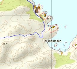
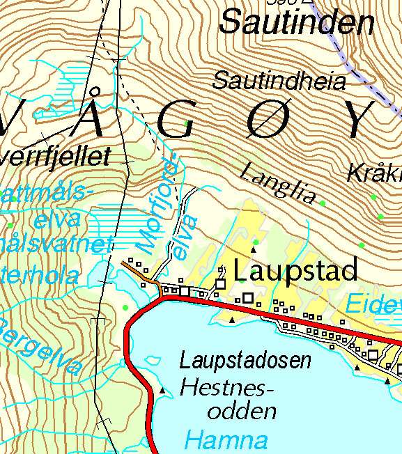
Hiking maps, guides, ask the locals (when possible) or other hikers you may meet. Check the local weather forecast at www.yr.no. This website offers an English version that is easy to use: on the homepage simply enter the name of your location and you will be given an accurate forecast for the next 24 hours and a less certain forecast for the coming week).
If you do not have internet access most shops, hotels/gites and tourist offices display a weather forecast in their window every day showing what the weather will be for the next 24 hours.
Take the right equipment You are in an Arctic region and even though the temperature is generally mild for the latitude, there may be huge differences in temperature in a single day. Always make sure you carry warm clothes, gloves, a cap and a change of clothing in case you get wet. Because the terrain is that of high mountain areas, a pair of walking boots, preferably waterproof, for uphill walking is strongly recommended. A mobile phone (in a waterproof case) and a compass or handheld GPS are also vital in the event of an emergency. Lastly, even though you may begin hiking in blazing sunshine and a cloudless sky, take your waterproof clothing as you can never be too cautious in the Lofoten Islands.